📊 Technical Details
The circuit itself (excluding the summit) is a sustained mountain trek on good Berber mule tracks with significant daily ascent and descent. The three main passes – Tizi n’Tamatert (2,279m), Tizi Likemt (3,555m), and Tizi n’Ouanoums (3,664m) – involve long, often loose-scree ascents. The Toubkal summit adds a steep non-technical scree climb (960m ascent from the refuge) that is tiring but non-exposed in summer. Winter and early spring conditions require crampons and ice axe. Altitude sickness is a genuine risk given the rapid ascent from Marrakech at sea level to passes above 3,500m so acclimatisation days are highly recommended.
The circuit follows established mule tracks that are generally clear in good conditions, but the trails are not waymarked in the European sense. Navigation is harder than it appears from descriptions with tracks splitting frequently. Cairns are the primary markers above the snowline and mist reduces visibility quickly. A licensed guide eliminates the navigation challenge. Independent hikers should carry 1:50,000 Survey of Morocco topographic maps (or the Cicerone/Trailblazer guide with maps) and have genuine mountain navigation experience.
The ascents to the high passes are long and grinding on loose scree with Tizi Likemt in particular having a seemingly endless scree field. The Tizi n’Ouanoums section before the Neltner Refuge is the toughest day – it is steep, loose, and often very hot. The summit scree is notorious for the psychological effect of two steps up, one step back. Altitude sickness affects many visitors who ascend too quickly from Marrakech. Headaches, nausea, and fatigue are common and cut many trips short.
| T1 | Hiking: clear path, no exposure |
| T2 | Mountain Hiking: some uneven terrain |
| T3 | Difficult Mountain Hiking: exposed sections possible |
| T4 | Alpine Hiking: requires sure-footedness |
| T5 | Difficult Alpine Hiking: climbing experience needed |
| T6 | Very Difficult Alpine Hiking: advanced mountaineering |
| Info | Visit About > rating notes or SAC hiking difficulty ratings |
| A dream | Paved/hardpack (but you might reconsider after a 10-hour day) |
| Too easy | Firm dirt/gravel |
| Mind your step | Loose/uneven |
| A bit of a slog | Ongoing sapping surfaces |
| Make it stop! | A total energy sucker |
📅 Best Season
Best April-June and September-November. Spring (April-May) offers wildflowers in the lower valleys, residual snow on the passes adding drama, and manageable temperatures. Autumn (September-October) is the most reliable for settled weather and clear summit views. Summer (July-August) is popular but hot in the lower valleys, with afternoon thunderstorms on the high passes a daily hazard. Winter (December-March) turns the circuit into a serious mountaineering undertaking requiring crampons, ice axe, and alpine experience. The summit can be genuinely dangerous. The circuit is not advisable from December to February without full winter kit and an experienced mountain guide.
💭 Logistics & Budget
Morocco is extremely affordable by European standards. Dirtbag assumes village gîtes (~€8–15 demi-pension) and camping at Lac d’Ifni. Average Joe assumes gîtes throughout with guide fees split across a small group (~€15–20pp/day guide share) plus mule support. Flashpacker assumes private guide, quality gîtes, and Neltner Refuge demi-pension. A full 6-day guided package from a reputable Marrakech operator typically costs €350–600pp all-in including transfers, guide, mule, and accommodation. Independent hiking without a guide, while possible, may result in checkpoint issues.
A licensed guide is legally required in the Toubkal National Park following a 2018 security incident. In practice enforcement at trail checkpoints (notably after Aroumd village) varies, but compliance is strongly recommended for safety and legal reasons. Licensed guides can be arranged in Imlil from approximately €80–120/day including mule. No additional permit fees apply within the national park. Separate entry fees apply to Lac d’Ifni.
Imlil: shared grand taxi from Marrakech (~1.5hrs, departing from near Bab Rob; ~€4–6pp) or private taxi (~€25–35). Marrakech Menara Airport (RAK) has extensive European connections. Imlil has parking. Most operators in Marrakech arrange transfers to Imlil as part of guided packages.
A mix of village gîtes (traditional Berber guesthouses), mountain refuges, and wild camping. The Neltner Refuge (also called the Toubkal Refuge) at 3,207m near the summit is the key overnight stop before the summit day — it has dorm beds, meals, and basic facilities (book ahead for July-August). Village gîtes in Tacheddirt, Azib Likemt, Amsouzert, and around Lac d’Ifni are simple but genuinely communal with meals, mint tea, and Amazigh hospitality. Wild camping is legally permitted in Morocco outside gîte villages and is widely practised on the circuit, particularly around Lac d’Ifni. Mule support for luggage is standard and affordable and included in most guided trips. Independent hikers can arrange mules and muleteer support in Imlil for roughly €30-40/day for the mule.
🎶 Vibe
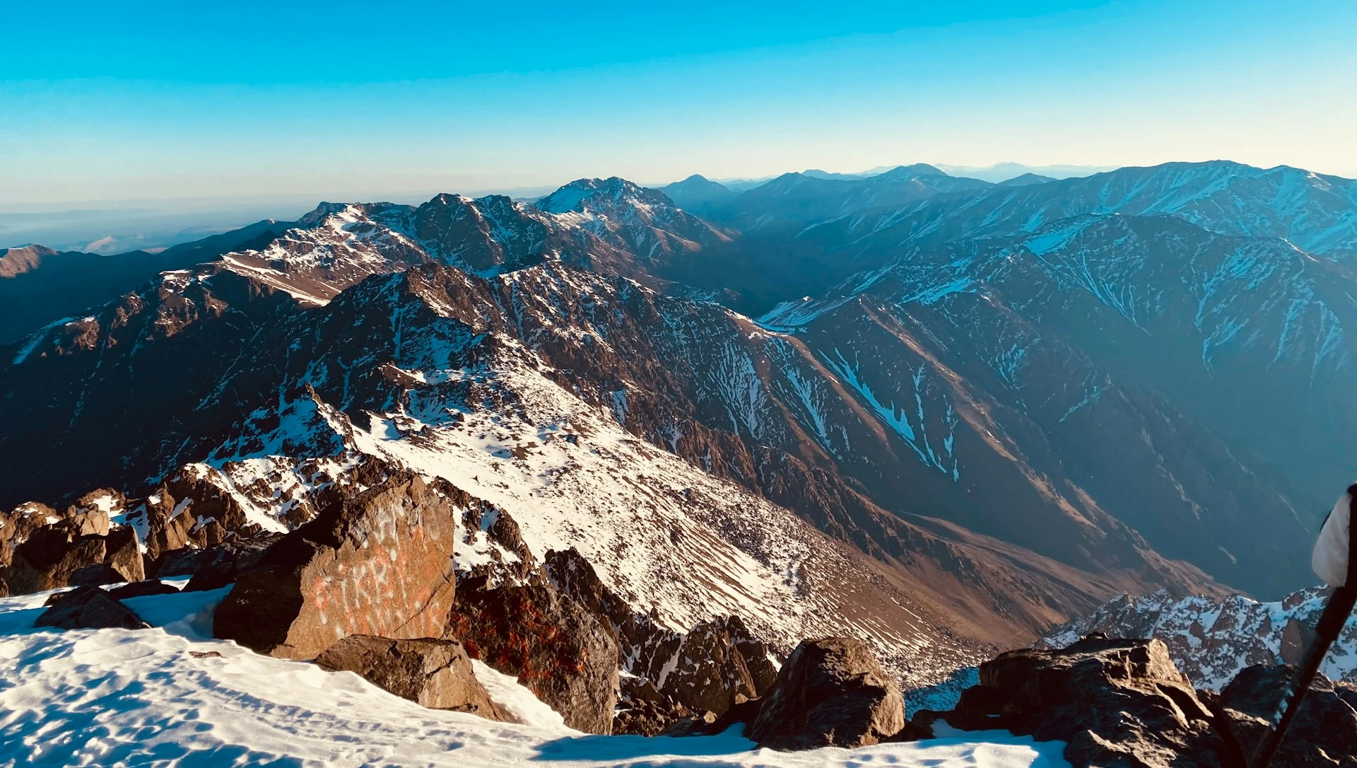
The Toubkal Circuit is one of Africa’s finest multi-day treks and one of the most accessible high-altitude mountain experiences in the world. In six days you loop around North Africa’s highest peak through a landscape that feels entirely unlike anything in Europe: Amazigh (Berber) villages perch impossibly on steep valley sides, terraced walnut groves are fed by ancient irrigation channels, mule tracks worn smooth by millennia of use, and the silence of the high passes. The people of the Atlas are wonderful and you can expect the warmest of welcomes at a village gîte after a hard day’s walking, mint tea materialising as if from nowhere, guides’ stories of the mountains told in a mix of Tachelhit and broken French, and Lac d’Ifni’s turqoise glow in its volcanic bowl. Standing on the summit of Toubkal at 4,167m with the Sahara haze visible to the south and the Atlantic glinting far to the west is a genuinely moving experience. It might be only an hour from Marrakech in distance but it feels a world away in every other way.
🛟 Safety & Inclusion
Altitude sickness is the primary medical risk. Hikers should ascend slowly, stay hydrated, and descend immediately if symptoms worsen. The summit scree in wet or icy conditions is dangerous. Never attempt the summit in poor weather. The 2018 murder of two Scandinavian hikers prompted the guide requirement and you should comply with this. Flash flooding in lower valleys can occur after heavy rain. The circuit is remote enough that evacuation takes time so a satellite communicator is recommended for independent hikers. Morocco is generally very safe for tourists in the mountain areas.
Suggest a correction
Help keep Circle of Toubkal accurate. Only the values you change are submitted, and every suggestion is reviewed before going live.