📊 Technical Details
A river-following trail with comfortable gradients and no summit crossings or passes. Some stages climb above the valley on panoramic high paths with modest ascent and descent. Sure-footedness helpful on steeper forest sections. Suitable for fit beginners.
Well waymarked throughout with consistent Lechweg signage in both directions. Clear trail on most terrain, with signposted stages making navigation straightforward.
Mostly well-maintained riverside and valley paths with some forest tracks. Occasional road sections and stony gorge paths near the Lech. Good underfoot for most of the route.
| T1 | Hiking: clear path, no exposure |
| T2 | Mountain Hiking: some uneven terrain |
| T3 | Difficult Mountain Hiking: exposed sections possible |
| T4 | Alpine Hiking: requires sure-footedness |
| T5 | Difficult Alpine Hiking: climbing experience needed |
| T6 | Very Difficult Alpine Hiking: advanced mountaineering |
| Info | Visit About > rating notes or SAC hiking difficulty ratings |
| A dream | Paved/hardpack (but you might reconsider after a 10-hour day) |
| Too easy | Firm dirt/gravel |
| Mind your step | Loose/uneven |
| A bit of a slog | Ongoing sapping surfaces |
| Make it stop! | A total energy sucker |
📅 Best Season
The full trail from Formarinsee is accessible from mid to late June once snow has cleared. A shortened version from Warth or Steeg is possible from May. The season closes in October.
💭 Logistics & Budget
Austrian and Bavarian prices apply throughout with village guesthouses and huts at each stage. Budget well for the Alpine section where hut prices are higher, though the Tyrolean valley section offers reasonable guesthouses.
The trail is accessible by public transport without a car. Take the train to Langen am Arlberg or St. Anton am Arlberg (both on the main Arlberg railway) then the regional bus to Lech am Arlberg, from where a hiking bus takes you up to Formarinsee in the morning. Füssen has its own train station with direct connections to Munich.
Village inns, mountain guesthouses and hotels at every stage end. YHA-style huts on the upper stages near the source. Wild camping is not a legal right in either Austria or Germany. The trail is well-set-up for self-guided walkers with baggage transfer available.
🎶 Vibe
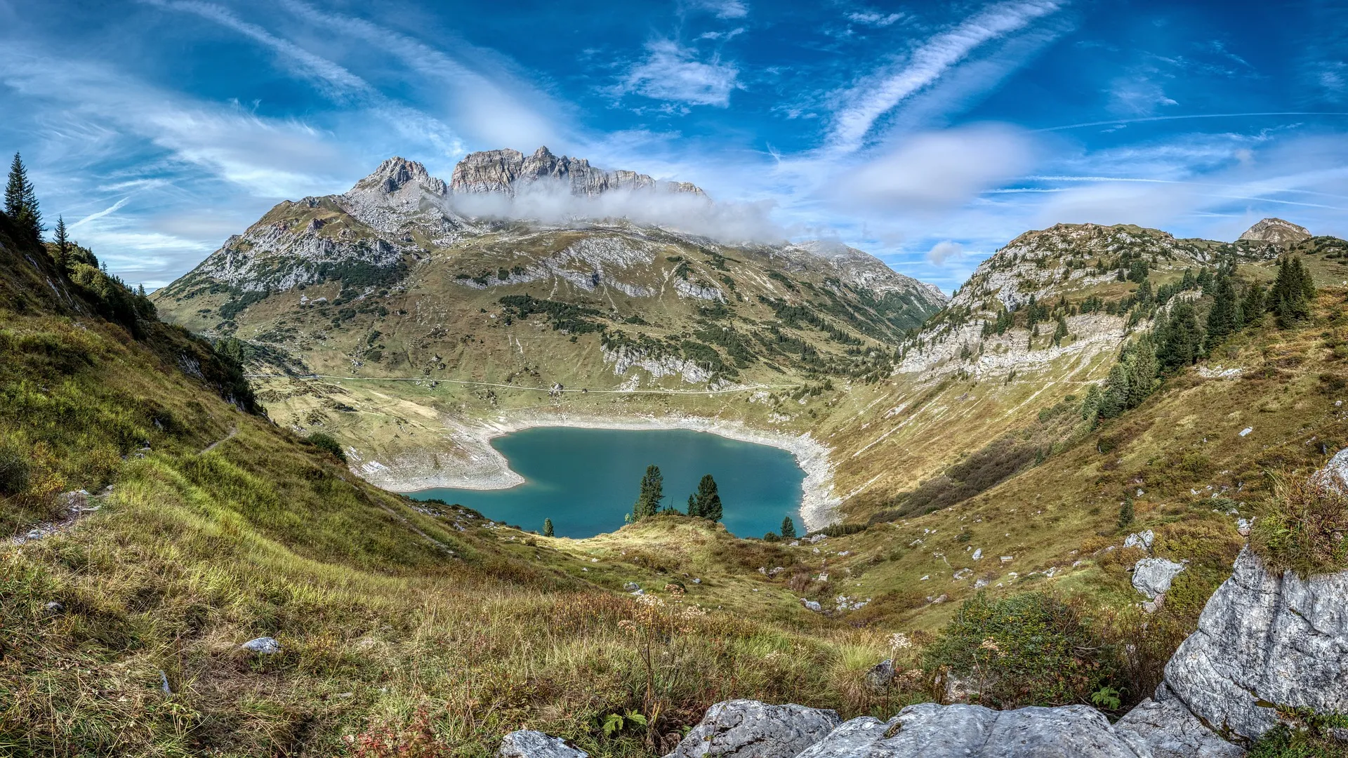
A rare river-based thru-hike through the Alps that follows one of Europe’s last wild rivers from its source at the Formarinsee lake all the way to the royal castles of Neuschwanstein and Hohenschwangau. The pace is downstream and unhurried, with ibex on the ridges, deep limestone gorges, quiet Tyrolean villages and a gradual shift from Austrian Alps to Bavarian foothills.
🛟 Safety & Inclusion
Very low crime. Signal can be limited in the deeper gorge sections and more remote upper valley. The trail is well-organised with services at every stage.
📍 Trails in the Same Region


Suggest a correction
Help keep Lechweg accurate. Only the values you change are submitted, and every suggestion is reviewed before going live.