📊 Technical Details
Mostly easy valley and lake-shore walking designed for pleasure hikers, with the trail running mainly through non-alpine terrain. The Vršič Pass stage in Slovenia and the opening alpine stages above Heiligenblut are more demanding but involve no scrambling or serious exposure.
Consistently signposted throughout all three countries with the Alpe Adria logo on existing hiking signs, walkable in both directions. A small amount of care is needed at junctions in less-visited sections of Friuli.
Mostly well-maintained valley paths, lake-shore tracks and rural lanes. A few stages cross rougher mountain terrain and some road walking occurs on the flatter lowland sections.
| T1 | Hiking: clear path, no exposure |
| T2 | Mountain Hiking: some uneven terrain |
| T3 | Difficult Mountain Hiking: exposed sections possible |
| T4 | Alpine Hiking: requires sure-footedness |
| T5 | Difficult Alpine Hiking: climbing experience needed |
| T6 | Very Difficult Alpine Hiking: advanced mountaineering |
| Info | Visit About > rating notes or SAC hiking difficulty ratings |
| A dream | Paved/hardpack (but you might reconsider after a 10-hour day) |
| Too easy | Firm dirt/gravel |
| Mind your step | Loose/uneven |
| A bit of a slog | Ongoing sapping surfaces |
| Make it stop! | A total energy sucker |
📅 Best Season
Best June to September for the full trail, when the alpine stages near the Grossglockner are clear of snow. The lower Carinthian and Slovenian stages can be walked from May. The coastal finish near Muggia is pleasant almost year-round.
💭 Logistics & Budget
Costs decrease markedly as the trail moves from Austria into Slovenia and then into rural Friuli. The Austrian alpine stages are the most expensive and the Slovenian and Friulian sections offer good value.
Heiligenblut is accessible by bus from Lienz or Spittal an der Drau (both have railway connections). The journey from Lienz takes around 1.5 hours. Muggia is served by bus from Trieste, which is a major rail and ferry hub just a few kilometres away.
Every stage ends in a village or town with at least one accommodation option. The trail has a dedicated Alpe Adria Booking Centre. Options range from alpine huts and farmhouse guesthouses on the Austrian stages to wine-country guesthouses and small hotels in Friuli. Wild camping is not a legal right in Austria, Slovenia or Italy.
🎶 Vibe
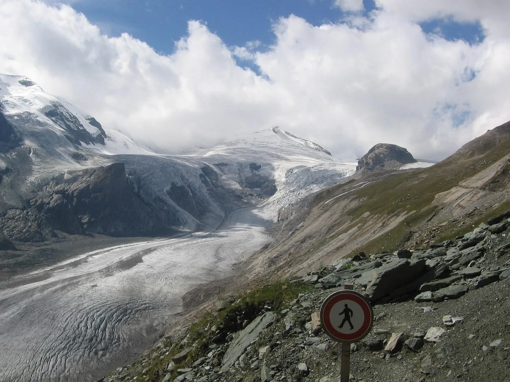
A south-running epic linking the permanent ice of Austria’s highest mountain to the Adriatic Sea across three countries and three cultures in 43 stages. The first third crosses Carinthia’s alpine lakes and river valleys, the middle third traverses Slovenia’s Julian Alps via the Soča River and the Vršič Pass, and the final third descends through Friulian wine country and the Triestine Karst to the harbour town of Muggia.
🛟 Safety & Inclusion
Very low crime across all three countries. Signal can be patchy in the deeper alpine valleys of Carinthia and Slovenia. The trail is well-organised with accommodation and services at every stage.
📍 Trails in the Same Region


Suggest a correction
Help keep Alpe Adria Trail accurate. Only the values you change are submitted, and every suggestion is reviewed before going live.