
📊 Technical Details
A mountain circuit with significant daily ascent and descent. Well-marked paths through forest and alpine pasture with some sections requiring hands on cables and iron rungs, plus some exposed stretches on the upper stages. Not technical but demanding, with long days and substantial elevation change as the main challenge.
Consistently marked with the Kaiserkrone symbol on standard Austrian mountain signage. The route is clear in good conditions and a map is advisable in poor visibility on the exposed upper sections.
A mix of good forest paths, rooted woodland tracks and open alpine terrain. Tree roots become very slippery in wet weather and some sections of scree and steep loose path demand care.
| T1 | Hiking: clear path, no exposure |
| T2 | Mountain Hiking: some uneven terrain |
| T3 | Difficult Mountain Hiking: exposed sections possible |
| T4 | Alpine Hiking: requires sure-footedness |
| T5 | Difficult Alpine Hiking: climbing experience needed |
| T6 | Very Difficult Alpine Hiking: advanced mountaineering |
| Info | Visit About > rating notes or SAC hiking difficulty ratings |
| A dream | Paved/hardpack (but you might reconsider after a 10-hour day) |
| Too easy | Firm dirt/gravel |
| Mind your step | Loose/uneven |
| A bit of a slog | Ongoing sapping surfaces |
| Make it stop! | A total energy sucker |
📅 Best Season
Accessible from June to mid-October depending on snow conditions. July and August are peak season for hut availability and settled weather. Book huts several months ahead in summer.
💭 Logistics & Budget
Mountain huts along the route offer half-board at Alpine hut prices. Valley accommodation in Going, Ellmau and Scheffau is available for those preferring a hotel base. Huts must be booked well in advance in peak season.
Kufstein, on the Munich-Innsbruck mainline, is the nearest significant hub and provides an alternative start point for the route. Going am Wilden Kaiser is accessible by bus from St. Johann in Tirol (regional train connection). Paid parking is available at the Hüttling trailhead.
Five mountain huts serve the route, each designed as a stage endpoint. Book several months ahead in summer. Valley guesthouses and hotels in the surrounding villages (Going, Ellmau, Scheffau, Söll) provide an alternative for those not staying in huts. Wild camping is not a legal right in Austria.
🎶 Vibe
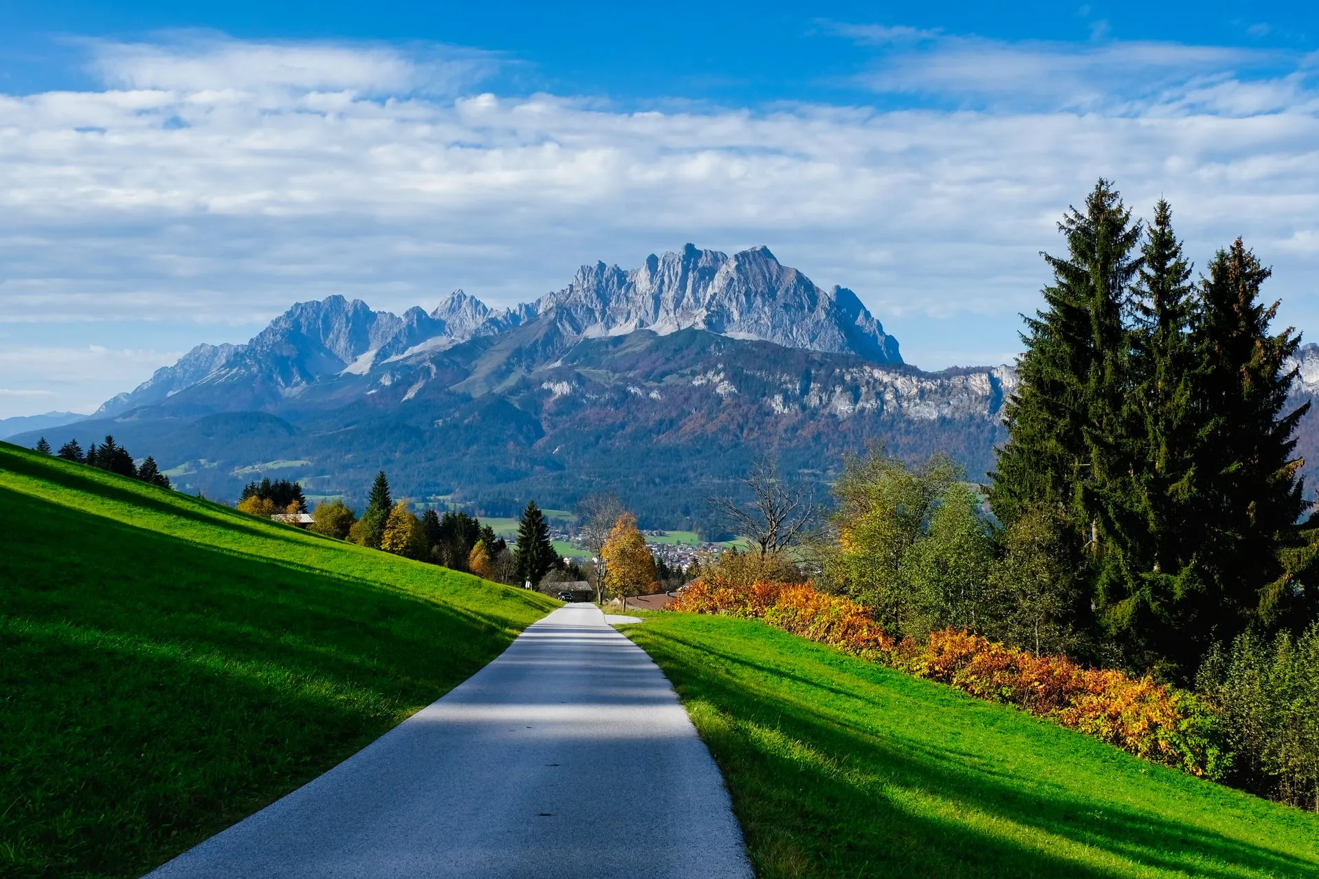
A five-day circuit of the Wilder Kaiser, Tyrol’s iconic limestone massif, following forest paths, alpine pastures and narrow mountain tracks below the jagged summit ridge. The contrast between the sheer north faces and the gentle pastoral valleys gives the trail its character, with hut nights throughout and views across the Kitzbühel Alps and into Bavaria changing with every stage.
🛟 Safety & Inclusion
Very low crime. The main hazards are weather, steep terrain and the long daily distances with significant elevation change. Signal is patchy on the higher sections. Huts offer refuge and rescue coordination if needed.
📍 Trails in the Same Region


Suggest a correction
Help keep Kaiserkrone accurate. Only the values you change are submitted, and every suggestion is reviewed before going live.