📊 Technical Details
Well-marked, maintained trails throughout. Short ladder sections exist on stages 10–11 between Tré-le-Champ and La Flégère, avoidable via a signed alternate. Some early-season cols may require poles or light crampons if snow is still present (common in June).
Extremely well signed with TMB waymarkers and GR Tour yellow/red blazes throughout all three countries. Navigation is rarely a challenge. The sheer number of variants requires some map awareness to stay on your intended route.
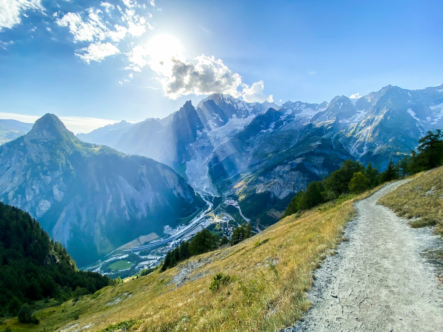
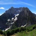
Predominantly firm mountain paths, gravel cols and stone tracks. Some road walking on stage 1 and the Italian valley sections (Val Veni, Val Ferret). No persistent bogs or deep sand.
| T1 | Hiking: clear path, no exposure |
| T2 | Mountain Hiking: some uneven terrain |
| T3 | Difficult Mountain Hiking: exposed sections possible |
| T4 | Alpine Hiking: requires sure-footedness |
| T5 | Difficult Alpine Hiking: climbing experience needed |
| T6 | Very Difficult Alpine Hiking: advanced mountaineering |
| Info | Visit About > rating notes or SAC hiking difficulty ratings |
| A dream | Paved/hardpack (but you might reconsider after a 10-hour day) |
| Too easy | Firm dirt/gravel |
| Mind your step | Loose/uneven |
| A bit of a slog | Ongoing sapping surfaces |
| Make it stop! | A total energy sucker |
📅 Best Season
Refuges typically open late June and close mid-September. Early July can still have snow on the higher cols; crampons sometimes needed in June. Late September sees the trail thin dramatically and many huts close — experienced hikers can find good conditions but must be self-sufficient.
💭 Logistics & Budget
Dirtbag assumes campsite fees (~€10–15/night) plus self-catered food. Average assumes refuge dorm half-board (~€65–80/night in France, significantly more in Switzerland). Flashpacker assumes private rooms, baggage transfers, and restaurant dinners — Switzerland sections push costs notably higher. All budgets in euros; Switzerland is ~30% more expensive than France/Italy sections.
No hiking permit required. Bivouacking in the Aiguilles Rouges nature reserve near Chamonix requires prior registration via the Chamonix app.
Les Houches is 23 minutes by bus from Chamonix, which has a mainline train station. Geneva airport is 90 minutes by bus (Chamonix Bus direct service). Parking available at Les Houches but not recommended for 11-day trips; leave cars in Chamonix.
Refuges must be booked months in advance — some July/August dates sell out within hours of opening in spring. Dormitory half-board is the standard. Campsites exist throughout France and Switzerland sections; Italy has no legal campsite on the main route below 2500m.
🎶 Vibe
The TMB is the Camino de Santiago of the Alps — a genuinely international trail with a strong social culture. Refuges buzz with hikers from every continent, communal dinners are a highlight, and a loose trail-family forms quickly. Courmayeur and Chamonix are polished mountain towns with excellent food and wine. The French sections feel wilder; the Italian sections have the best views of the massif; the Swiss sections are the most expensive and the most pristine. Expect queues at iconic viewpoints in peak season.
🛟 Safety & Inclusion
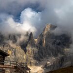
The TMB passes through some of the most tourist-developed alpine terrain in Europe. Mountain weather can deteriorate rapidly; afternoon thunderstorms are common July–August. The trail is physically demanding but not technical. Emergency services are excellent across all three countries.
🔗 Similar Trails
📍 Trails in the Same Region


Suggest a correction
Help keep Tour du Mont Blanc accurate. Only the values you change are submitted, and every suggestion is reviewed before going live.