📊 Technical Details
No technical terrain, but the trail is more physically demanding than its maximum elevation suggests. The constant ascent and descent at every headland accumulates 4,000m over 200km. Some sections cross exposed coastal clifftops. The paths are narrow and can be slippery when wet.
Marked with green arrows and footprints, though the green colour can blend into the landscape and are less dense than on Spanish Camino routes. Download offline GPX tracks (available from caminodosfaros.com). The trail is not yet a certified GR route so waymarking quality is less consistent than established national trails.
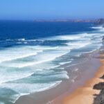
Mix of percebeiro coastal paths (narrow, rocky, occasionally overgrown), beach sections (beautiful but slow going in sand), forest tracks, and some unavoidable road walking between coastal sections. Galicia is one of the wettest regions of Spain so mud and slippery rock are year-round factors. The beauty of the landscape compensates entirely.
| T1 | Hiking: clear path, no exposure |
| T2 | Mountain Hiking: some uneven terrain |
| T3 | Difficult Mountain Hiking: exposed sections possible |
| T4 | Alpine Hiking: requires sure-footedness |
| T5 | Difficult Alpine Hiking: climbing experience needed |
| T6 | Very Difficult Alpine Hiking: advanced mountaineering |
| Info | Visit About > rating notes or SAC hiking difficulty ratings |
| A dream | Paved/hardpack (but you might reconsider after a 10-hour day) |
| Too easy | Firm dirt/gravel |
| Mind your step | Loose/uneven |
| A bit of a slog | Ongoing sapping surfaces |
| Make it stop! | A total energy sucker |
📅 Best Season
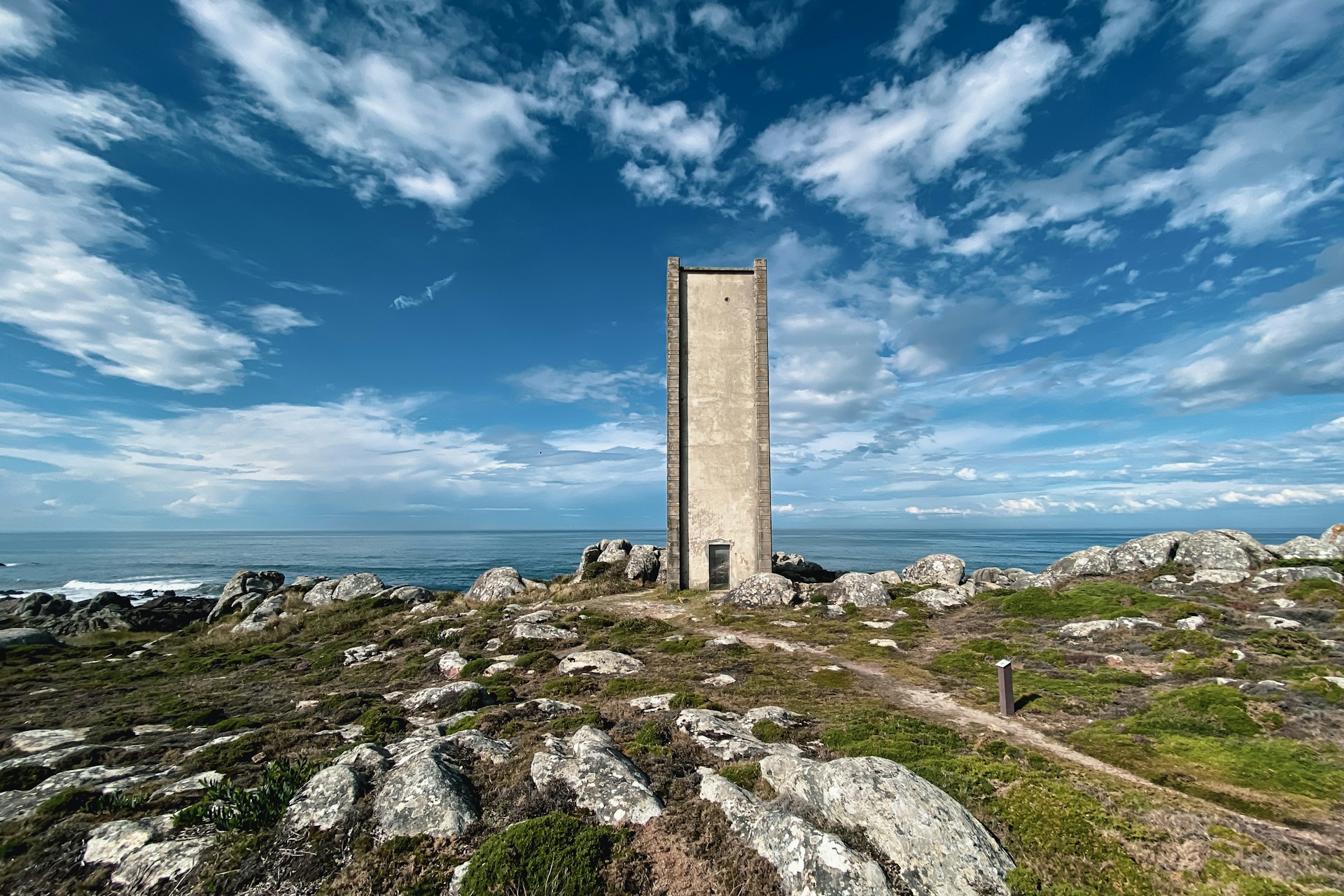
Walkable year-round but best April–June and September. Spring brings wildflowers and the best light for photography. Summer is warmest but Galicia can still be overcast. Autumn is quieter and the landscape is beautiful after the summer heat. Winter is mild but wet (the Galician coast receives some of the highest rainfall in Spain). The trail ends at Cabo Fisterra, the symbolic end of the world for Camino de Santiago pilgrim and arriving at the lighthouse at sunset is a profound experience at any time of year.
💭 Logistics & Budget
Dirtbag assumes the cheapest pensions (~€25–35pp) and self-catered or bar lunches. Average assumes comfortable pensions with breakfast (~€40–55pp) and evening meal at local restaurants (Galician seafood is excellent and reasonably priced). Flashpacker adds casa rural stays and restaurant dinners with the region’s celebrated percebes (barnacles) and Albariño wine. Overall very good value by Spanish standards – the Costa da Morte has not been overrun by tourism.
No permit required. The trail has been seeking GR accreditation but as of 2026 the process is ongoing and the route may face some alterations in protected areas. Check caminodosfaros.com for current status.
Malpica: bus from A Coruña (~1.5hrs via Carballo); A Coruña has direct rail connections from Santiago de Compostela (~35min) and Madrid (~8hrs). Santiago de Compostela Airport (SCQ) has extensive European connections.
Cabo Fisterra: bus to Cee/Corcubión, then connections to Santiago. The trail connects naturally with the Camino de Santiago Finisterre route and many pilgrims combine the two.
Accommodation is available in each overnight village – primarily small pensions, casas rurales, and the occasional hotel. The Costa da Morte is not a heavily touristed area and prices are very reasonable (€25–50pp for a pension with breakfast). Advance booking recommended in July–August but rarely essential outside peak season. Wild camping is not permitted. Baggage transfer services are available from several local operators. The trail mascot Traski (a Galician goblin) appears on waymarks throughout — the green colour of the markers can be hard to spot against the lush landscape, so downloading offline GPX tracks is recommended.
🎶 Vibe
The Camiño dos Faros is what happens when six friends decide to trace every wild metre of one of Europe’s least-known coastlines on foot. Born from that 2012 walk, it has grown into something quite special. The trail that stays within sight and sound of the Atlantic for almost its entire length, linking lighthouse to lighthouse across a coast that was terrifying to sailors for centuries and is spectacular for walkers. The Costa da Morte is raw, green, and dramatic, with pounding surf, grey granite, ancient fishing villages where men still haul barnacles from storm-washed rocks, and a Galician culture that is Celtic in feel and deeply proud. The trail connects naturally with the Camino de Santiago and ends at Cape Finisterre, the point where medieval pilgrims believed the world ended. There are very few hikers on this trail relative to any Camino route — you will walk for hours seeing only fishermen and seabirds. In a region saturated with pilgrimage tourism, the solitude is refreshing.
🛟 Safety & Inclusion
Main hazards are cliff edges (some sections have exposed drops with no barriers) and slippery wet rock on coastal paths. The Atlantic swell can reach cliff-top spray on stormy days. You should not approach cliff edges in strong onshore winds. Check tide times for a few beach crossings. The Coast of Death (Costa da Morte) earned its name from hundreds of shipwrecks and the sea conditions here can be very powerful.
📍 Trails in the Same Region


Suggest a correction
Help keep Camiño dos Faros accurate. Only the values you change are submitted, and every suggestion is reviewed before going live.