📊 Technical Details
Hilly farmland, forest tracks and open moorland with continual ascents and descents. No scrambling but sure-footedness needed on rough and boggy upland ground.
Waymarked as a National Trail but remote, meandering and easy to lose in open country. The official advice notes that walking it in reverse (Welshpool to Knighton) is harder to navigate. Map/GPS competence recommended.
Mix of forest tracks, drovers’ roads and farmland. Open moorland with associated boggy areas (e.g. around Glaslyn and Foel Fadian) slows progress in places.
| T1 | Hiking: clear path, no exposure |
| T2 | Mountain Hiking: some uneven terrain |
| T3 | Difficult Mountain Hiking: exposed sections possible |
| T4 | Alpine Hiking: requires sure-footedness |
| T5 | Difficult Alpine Hiking: climbing experience needed |
| T6 | Very Difficult Alpine Hiking: advanced mountaineering |
| Info | Visit About > rating notes or SAC hiking difficulty ratings |
| A dream | Paved/hardpack (but you might reconsider after a 10-hour day) |
| Too easy | Firm dirt/gravel |
| Mind your step | Loose/uneven |
| A bit of a slog | Ongoing sapping surfaces |
| Make it stop! | A total energy sucker |
📅 Best Season
Best spring to early autumn (Apr-Oct). Exposed moorland and short days make winter committing. Walkable year-round by the experienced.
💭 Logistics & Budget
Mid-Wales is relatively inexpensive but accommodation is sparser and baggage transfer is limited, so logistics rather than luxury drive cost. Dirtbag assumes discreet wild camping and small-town shop resupply.
Knighton (start) is on the infrequent Heart of Wales line.
Welshpool (finish) is on the Cambrian line (better service, ~30 min from Shrewsbury).
Both have town parking. The sparse Knighton service makes it the slower end to reach.
B&Bs, guesthouses, hostels and small-town lodging in Knighton, Llanidloes, Machynlleth, Llanwddyn, Meifod and Welshpool; options are limited and spaced out, so book ahead. Wild camping is not a legal right in Wales but is discreetly practicable on the remote moorland.
🎶 Vibe
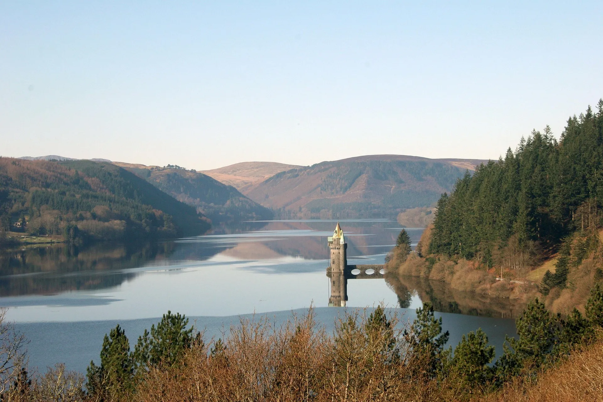
The quietest and least-walked of the National Trails. The route is a horseshoe through sparsely populated mid-Wales linking places tied to Owain Glyndŵr, via Abbeycwmhir, Llyn Clywedog, Dylife and Machynlleth. Working farmland, heather moorland, forestry and reservoirs, with real solitude and views to Cadair Idris and Plynlimon.
🛟 Safety & Inclusion
Very low crime. Main hazards are navigation, exposure and bog on remote moorland with limited phone signal and few escape routes between towns. Standard UK hill-walking precautions apply.
📍 Trails in the Same Region


Suggest a correction
Help keep Glyndŵr’s Way accurate. Only the values you change are submitted, and every suggestion is reviewed before going live.