📊 Technical Details
Mostly farmland, river valleys and grassy ridges with some steep pulls (notably onto the Hatterrall Ridge and in the Clwydian Range); no scrambling.
Waymarked throughout with the National Trail acorn. The main navigational care is the exposed Hatterrall Ridge crossing (few escape routes, serious in cloud).
Generally good, well-maintained National Trail surfaces. Muddy farmland and peaty, boggy patches on the Hatterrall Ridge and Clwydian/Eglwyseg moors can be taxing.
| T1 | Hiking: clear path, no exposure |
| T2 | Mountain Hiking: some uneven terrain |
| T3 | Difficult Mountain Hiking: exposed sections possible |
| T4 | Alpine Hiking: requires sure-footedness |
| T5 | Difficult Alpine Hiking: climbing experience needed |
| T6 | Very Difficult Alpine Hiking: advanced mountaineering |
| Info | Visit About > rating notes or SAC hiking difficulty ratings |
| A dream | Paved/hardpack (but you might reconsider after a 10-hour day) |
| Too easy | Firm dirt/gravel |
| Mind your step | Loose/uneven |
| A bit of a slog | Ongoing sapping surfaces |
| Make it stop! | A total energy sucker |
📅 Best Season
Walkable year-round (lower and more sheltered than the high mountains). Best late spring to early autumn. The Hatterrall Ridge is a more serious undertaking in winter.
💭 Logistics & Budget
Frequent towns make resupply and B&B/pub stops easy. Baggage-transfer packages available and estimate is included in flashpacker figure. Dirtbag assumes campsites or discreet wild camping and shop resupply.
Both ends are rail-served: Chepstow station ~2 miles from the Sedbury start; Prestatyn station ~0.3 miles from the northern end. Knighton (mid-point) also has a station. Easily done as a point-to-point by train.
Plentiful B&Bs, guesthouses, inns, hostels and campsites in the border towns and villages (Monmouth, Hay-on-Wye, Kington, Knighton, Montgomery, Llangollen). Wild camping is not a legal right in England or Wales and most of the route is enclosed farmland, so served accommodation is the norm.
🎶 Vibe
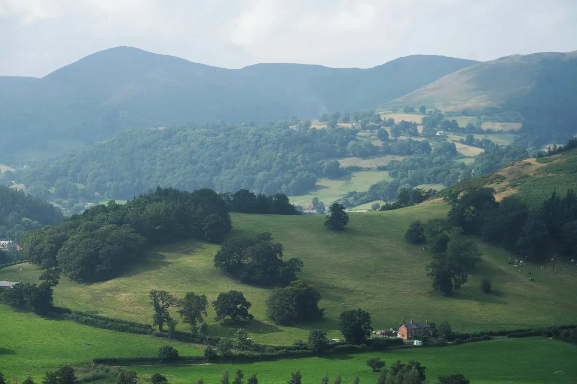
A historic border-country traverse following King Offa’s 8th-century earthwork between the Severn estuary and the Irish Sea, crossing the England-Wales line 20+ times. Includes many castles, the Wye valley, the Black Mountains’ Hatterrall Ridge, Llangollen and the Clwydian Range. It’s a sociable, well-trodden National Trail through market towns.
🛟 Safety & Inclusion
Very low crime. Principal hazards are weather, exposure and navigation on the Hatterrall Ridge, plus river/estuary conditions at each end. Signal is reliable in the valleys and towns but drops on the uplands.
📍 Trails in the Same Region


Suggest a correction
Help keep Offa’s Dyke Path accurate. Only the values you change are submitted, and every suggestion is reviewed before going live.