📊 Technical Details
Easy, open chalk bridleway with occasional short steep climbs and descents. One of the most accessible National Trails in England, with no scrambling and well-surfaced paths throughout.
Very well waymarked bridleway suitable for most walkers including beginners. The route is obvious and consistent throughout.
Mostly firm chalk and flint bridleway. Chalk becomes slippery when wet and some sections churn to mud after sustained rain, particularly in winter.
| T1 | Hiking: clear path, no exposure |
| T2 | Mountain Hiking: some uneven terrain |
| T3 | Difficult Mountain Hiking: exposed sections possible |
| T4 | Alpine Hiking: requires sure-footedness |
| T5 | Difficult Alpine Hiking: climbing experience needed |
| T6 | Very Difficult Alpine Hiking: advanced mountaineering |
| Info | Visit About > rating notes or SAC hiking difficulty ratings |
| A dream | Paved/hardpack (but you might reconsider after a 10-hour day) |
| Too easy | Firm dirt/gravel |
| Mind your step | Loose/uneven |
| A bit of a slog | Ongoing sapping surfaces |
| Make it stop! | A total energy sucker |
📅 Best Season
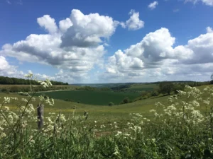
Walkable year-round in this mild part of England. Drier and warmer than much of the country. The wild-flower chalk grassland is at its best in May and June.
💭 Logistics & Budget
Accessible and well-served with a good range of accommodation at all price points. Designated campsites are limited so book ahead in summer.
Winchester has a direct mainline from London Waterloo (around 1 hour). Eastbourne has direct services from London Victoria and connects to Brighton in around 30 minutes. Intermediate rail stations at Petersfield, Amberley, Hassocks and Lewes make day sections fairly straightforward.
Good network of B&Bs, YHA hostels and guesthouses along or near the route. Designated campsites are limited. Wild camping is not a legal right in England.
🎶 Vibe
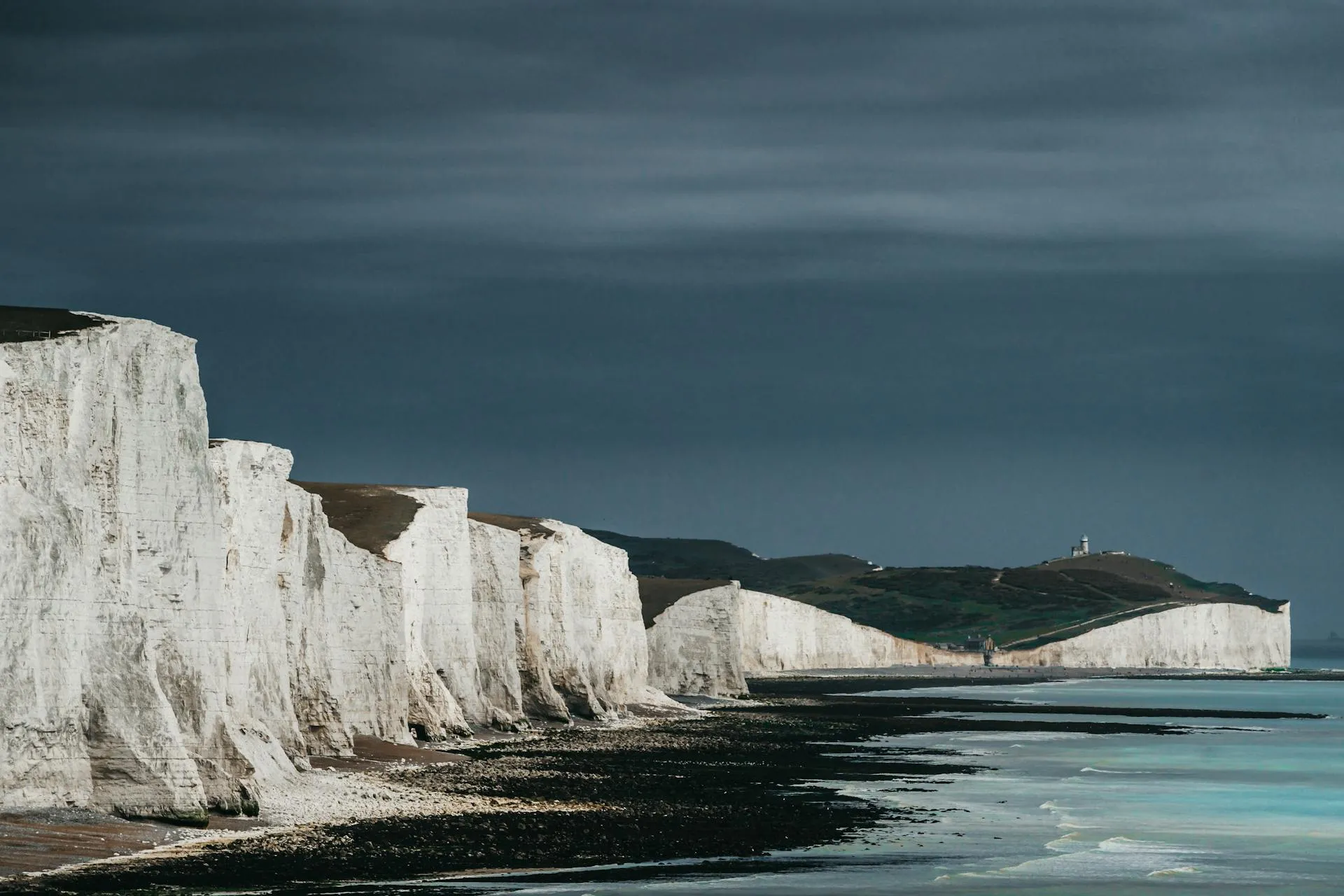
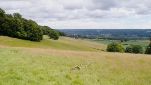
A breezy chalk escarpment walk across the open rolling hills of the South Downs National Park, from Winchester Cathedral to the Seven Sisters cliffs above Beachy Head. Ancient hillforts, wildflower meadows, beech hangers, traditional village pubs and sweeping views over the Weald give way to a spectacular coastal finish.
🛟 Safety & Inclusion
Very low crime. One of the safest and most accessible National Trails in England, close to villages, roads and rail throughout.
🔗 Similar Trails
📍 Trails in the Same Region


Suggest a correction
Help keep South Downs Way accurate. Only the values you change are submitted, and every suggestion is reviewed before going live.