📊 Technical Details
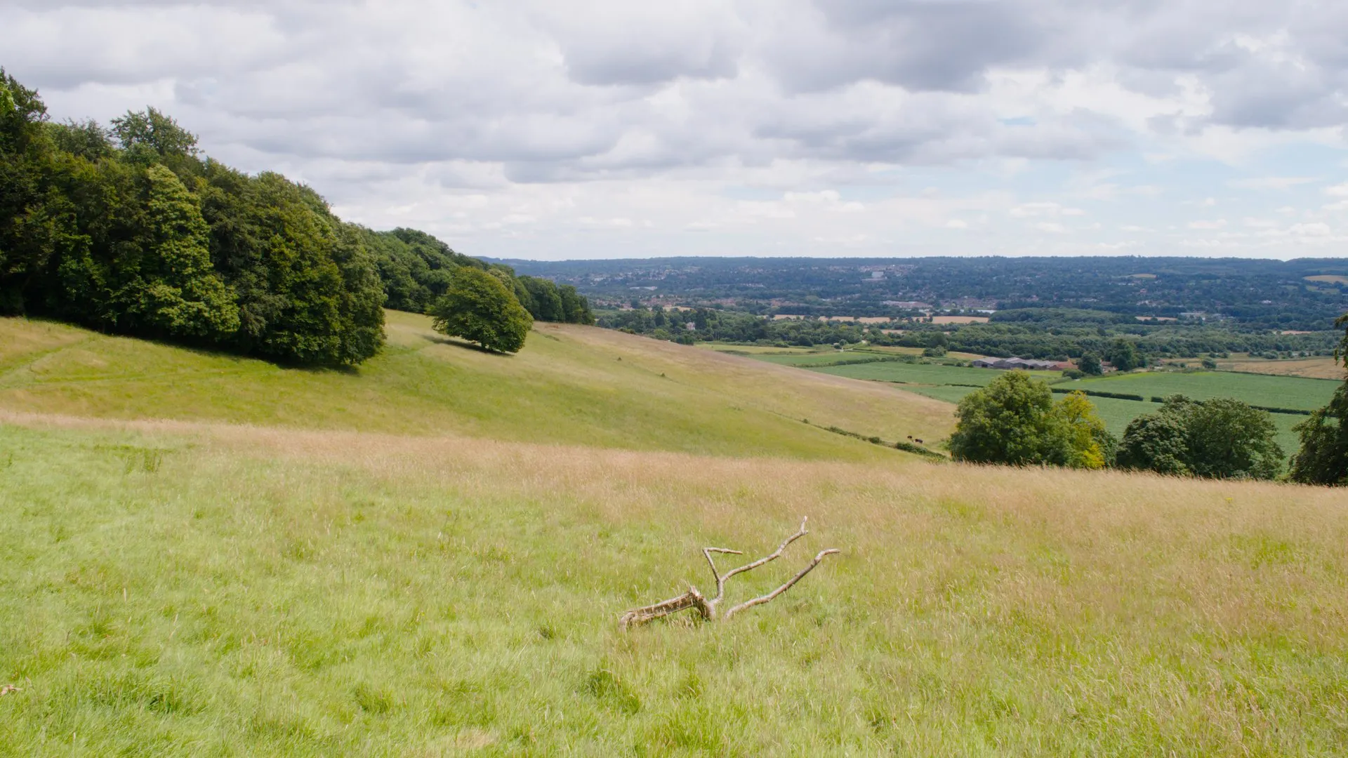
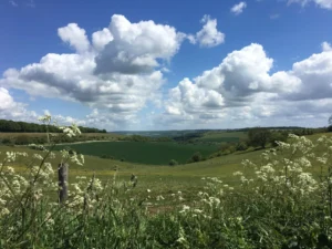
Gentle chalk downland walking suitable for first-time long-distance walkers. Box Hill and a few Kent Downs sections have short steep climbs but there is no sustained difficulty. Fully waymarked National Trail. Note that the total elevation figure includes both forks.
Well waymarked with the National Trail acorn throughout. The trail splits near Boughton Lees into the Canterbury (Northern) Loop and the White Cliffs (Southern) Loop, which requires a deliberate route choice.
Generally well-maintained chalk and flint paths with some firm bridleway. Chalk becomes slippery and muddy in wet conditions and some Surrey sections pass through dense vegetation after wet summers.
| T1 | Hiking: clear path, no exposure |
| T2 | Mountain Hiking: some uneven terrain |
| T3 | Difficult Mountain Hiking: exposed sections possible |
| T4 | Alpine Hiking: requires sure-footedness |
| T5 | Difficult Alpine Hiking: climbing experience needed |
| T6 | Very Difficult Alpine Hiking: advanced mountaineering |
| Info | Visit About > rating notes or SAC hiking difficulty ratings |
| A dream | Paved/hardpack (but you might reconsider after a 10-hour day) |
| Too easy | Firm dirt/gravel |
| Mind your step | Loose/uneven |
| A bit of a slog | Ongoing sapping surfaces |
| Make it stop! | A total energy sucker |
📅 Best Season
Walkable year-round in this mild corner of England. Best late spring to early autumn for firm paths and long days.
💭 Logistics & Budget
Good variety at all price points with easy access from London. Campsites are limited so most walkers rely on B&Bs and village inns.
Farnham is served by a direct mainline from London Waterloo. Dover has mainline connections to London and the continent. The trail is also intersected by multiple intermediate rail stations making day sections very accessible.
Well-served by B&Bs, guesthouses and inns across Surrey and Kent. Campsites are limited and mostly require booking ahead. Wild camping is not a legal right and is not practical on this densely settled route.
🎶 Vibe
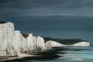
An accessible chalk-ridge trail from the Surrey Hills to the White Cliffs of Dover, easily reached from London and as popular with day walkers and weekend sections as end-to-end thru-hikers. The ancient Pilgrims’ Way runs alongside for much of the route, passing Box Hill, Rochester Castle and the Kent Downs before the trail forks toward either Canterbury Cathedral or the iconic White Cliffs.
🛟 Safety & Inclusion
Very low crime. The route passes through well-populated Surrey and Kent with roads and rail lines never far away.
🔗 Similar Trails
📍 Trails in the Same Region


Suggest a correction
Help keep North Downs Way accurate. Only the values you change are submitted, and every suggestion is reviewed before going live.