📊 Technical Details
The easiest end of the National Trail spectrum. No technical terrain, scrambling, or route-finding difficulty. The escarpment produces some short steep climbs — particularly in the northern section around Broadway and Cleeve Hill — but nothing requiring more than average fitness. Underfoot is a mix of compacted paths, some mud after rain, and occasional short road sections.
Excellently waymarked National Trail with acorn symbols throughout. One of the easiest trails to navigate in the UK. A basic guidebook or the National Trails app is sufficient. Some sections through fields can be briefly unclear after crops have grown over the path in summer.
Mostly dry, well-maintained paths through fields, woodland, and along the escarpment edge. Some unavoidable road walking through villages. Can get muddy after prolonged rain. The Cotswold limestone underfoot drains well in most conditions. Surface is generally excellent by UK standards.
| T1 | Hiking: clear path, no exposure |
| T2 | Mountain Hiking: some uneven terrain |
| T3 | Difficult Mountain Hiking: exposed sections possible |
| T4 | Alpine Hiking: requires sure-footedness |
| T5 | Difficult Alpine Hiking: climbing experience needed |
| T6 | Very Difficult Alpine Hiking: advanced mountaineering |
| Info | Visit About > rating notes or SAC hiking difficulty ratings |
| A dream | Paved/hardpack (but you might reconsider after a 10-hour day) |
| Too easy | Firm dirt/gravel |
| Mind your step | Loose/uneven |
| A bit of a slog | Ongoing sapping surfaces |
| Make it stop! | A total energy sucker |
📅 Best Season
Walkable year-round. Best May–October with reliable weather and long days. Summer is popular but the route never feels crowded. Spring brings wildflowers and nesting birds. Autumn colour through the beech woods is spectacular. Winter is feasible but some accommodation closes and mud increases significantly. The route avoids high exposed ground so there are no serious weather hazards in any season.
💭 Logistics & Budget
Dirtbag is difficult here — very few campsites and the Cotswolds skews expensive. Budget assumes the cheapest B&Bs and pub meals. Average assumes comfortable B&Bs or guesthouses (~£60–80pp) with pub dinners. Flashpacker assumes Cotswold hotels and restaurant meals. This is not a cheap trail by UK standards; the Cotswolds tourist economy pushes prices up relative to other National Trails.
No permit required. National Trail, maintained by Natural England.
Chipping Campden: nearest station is Moreton-in-Marsh (9 miles, taxi required) or Honeybourne (6 miles); direct trains from London Paddington (~1hr 40min to Moreton). Bath: direct trains to London Paddington (~1hr 30min) and Bristol (15min). Both ends very well connected. Most walkers travel by rail, avoiding need for car logistics.
Excellent accommodation throughout — the Cotswolds is a major tourist destination and the route passes through or near attractive villages with a high density of B&Bs, pubs with rooms, and small hotels. Campsites are sparse; wild camping is not permitted on private land. Book well ahead for peak season (May–September) as the area is very popular with non-walkers too. Most accommodation is walker-friendly with drying facilities. Bath at the end of the route has abundant options at all price points.
🎶 Vibe
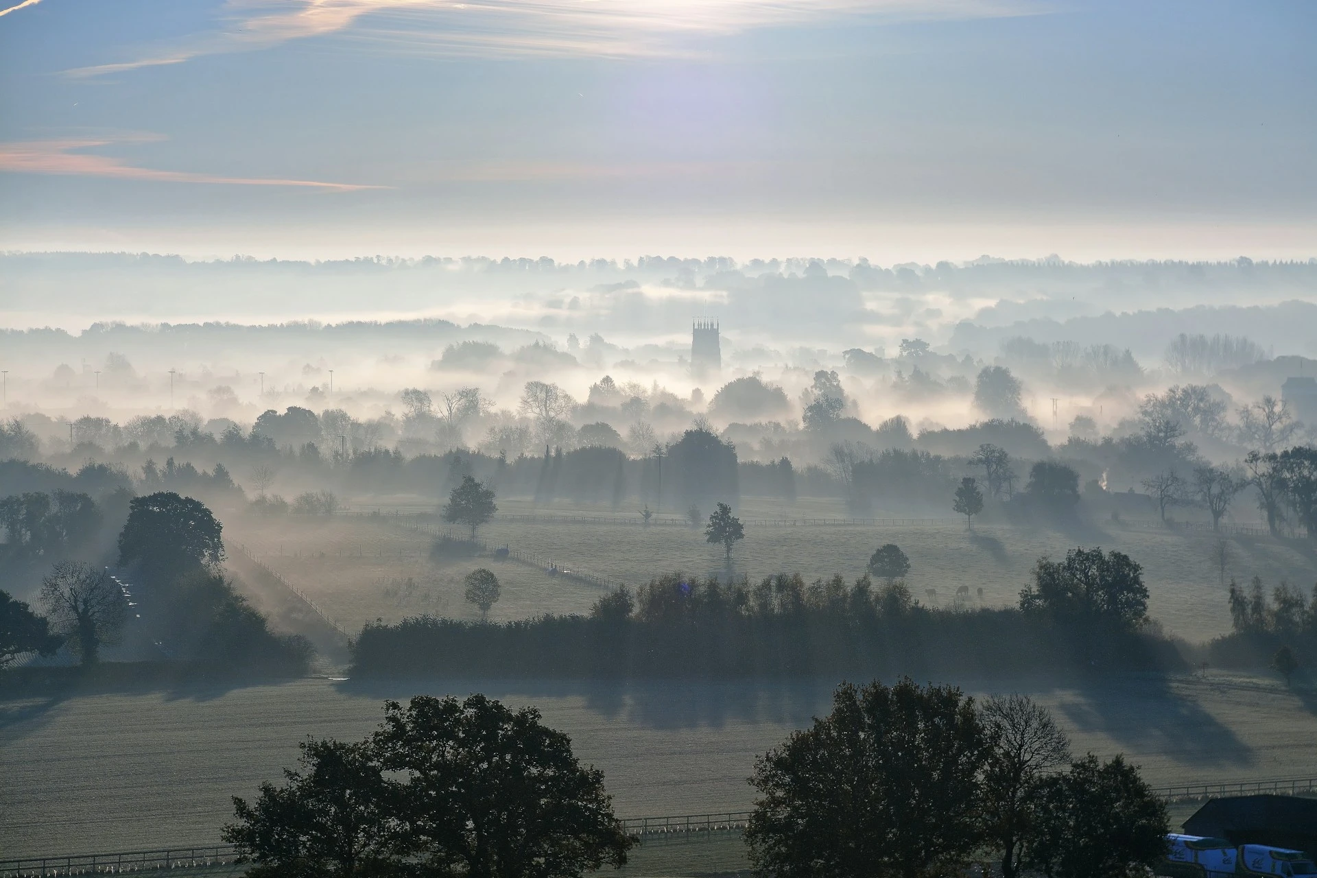
The Cotswold Way is England’s most civilised long-distance trail. It threads through some of the country’s most photographed villages — honey-stone cottages, Norman churches, tithe barns, and pubs that look exactly like a pub is supposed to look. The escarpment views across the Severn Vale to Wales are genuinely beautiful. This is a trail where the evening is as much the point as the walking: a pint in a 15th century pub, a hearty B&B breakfast, a chat with the landlord. It lacks the drama of wilder trails but compensates with sheer quality of England’s rural landscape and built heritage. A superb first long-distance trail for those new to multi-day walking, and a restorative favourite for experienced hikers wanting comfort over challenge.
🛟 Safety & Inclusion
One of the safest long-distance routes in the UK. No significant hazards. The escarpment edge in a few places has modest drops — normal path care applies. Good mobile coverage throughout except a few deep woodland sections.
📍 Trails in the Same Region


Suggest a correction
Help keep Cotswold Way accurate. Only the values you change are submitted, and every suggestion is reviewed before going live.