📊 Technical Details
A mix of open moorland tracks, field paths and clifftop paths with some steep climbs on the moorland section, notably onto the Cleveland Escarpment and around Roseberry Topping. No scrambling. The coastal section is generally straightforward but can be exposed.
Fully waymarked National Trail throughout with acorn markers in both directions. The moorland crossing between Helmsley and the coast requires reasonable map awareness in poor visibility.
Mostly good moorland tracks and firm cliff paths. Heathery and occasionally boggy ground on the moor tops and some steep, eroded descents on the coastal section after wet weather.
| T1 | Hiking: clear path, no exposure |
| T2 | Mountain Hiking: some uneven terrain |
| T3 | Difficult Mountain Hiking: exposed sections possible |
| T4 | Alpine Hiking: requires sure-footedness |
| T5 | Difficult Alpine Hiking: climbing experience needed |
| T6 | Very Difficult Alpine Hiking: advanced mountaineering |
| Info | Visit About > rating notes or SAC hiking difficulty ratings |
| A dream | Paved/hardpack (but you might reconsider after a 10-hour day) |
| Too easy | Firm dirt/gravel |
| Mind your step | Loose/uneven |
| A bit of a slog | Ongoing sapping surfaces |
| Make it stop! | A total energy sucker |
📅 Best Season
Best late spring to early autumn. The moorland is spectacular in August when the heather blooms. The exposed coastal section can be brutal in high winds (particularly common in winter!).
💭 Logistics & Budget
The inland moors offer simple B&Bs, village inns, and camping options. The coastal towns (Whitby, Robin Hood’s Bay, Scarborough, Filey) have more options but command higher summer prices.
Helmsley has no railway station. The closest is Thirsk (around 15 miles), with the Coastliner bus taking roughly 1.5 hours from York. Filey has its own station on the Yorkshire coast line. Town parking is available at both ends.
Good range of B&Bs, guesthouses and hotels in the coastal towns and moorland villages. YHA hostels at Boggle Hole (near Robin Hood’s Bay) and Scarborough. Wild camping is not a legal right in England but is practised discreetly on open moorland away from farmland.
🎶 Vibe
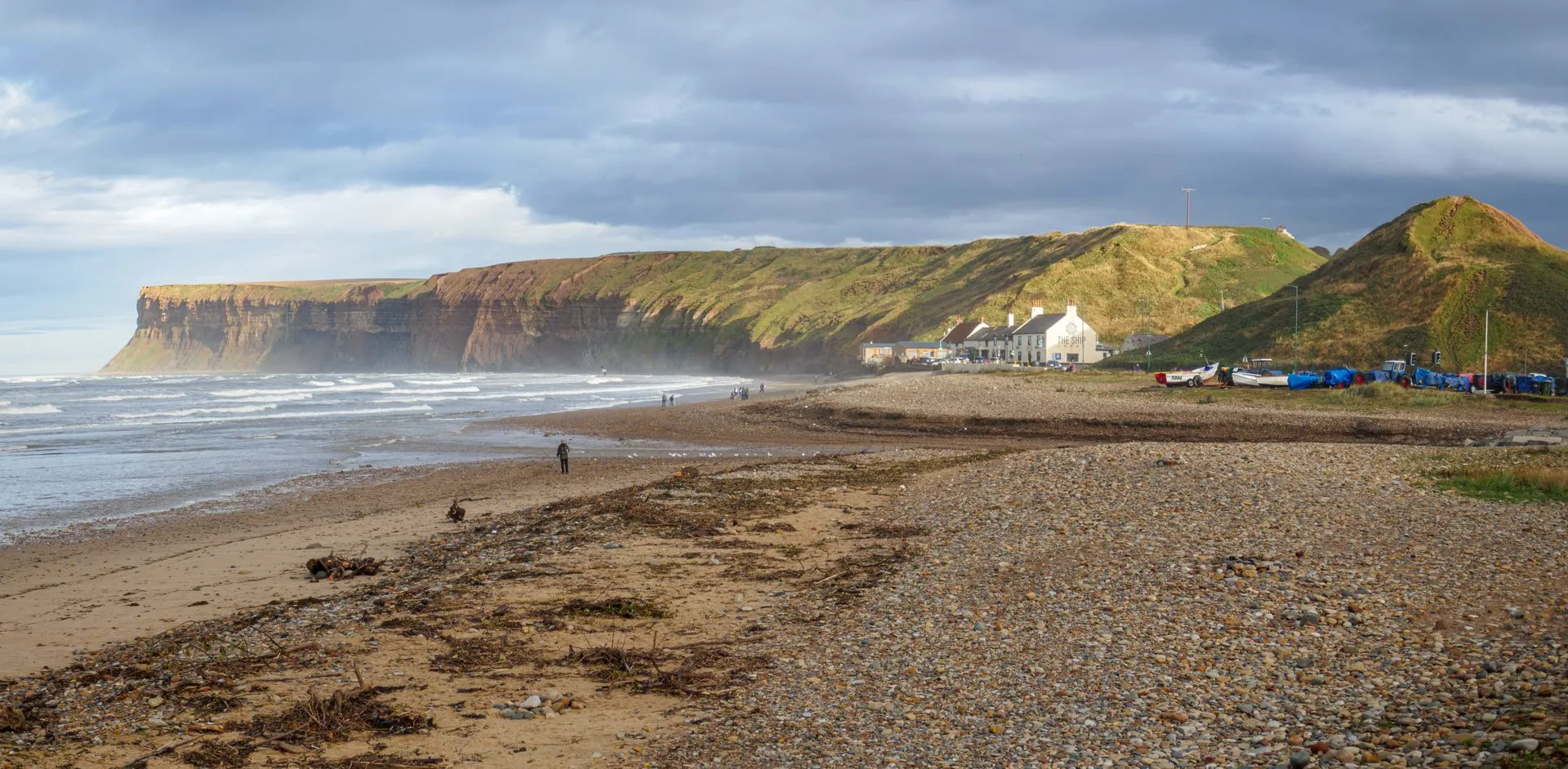
England’s classic two-act trail, split equally between the purple heather moorland of the North York Moors and the dramatic “dinosaur coast” cliffs of the Yorkshire coast. Helmsley Castle, Rievaulx Abbey, the White Horse of Kilburn, Roseberry Topping, Robin Hood’s Bay and Whitby Abbey feature along the way.
🛟 Safety & Inclusion
Very low crime. Signal is limited on the open moorland sections with few services nearby if you get into difficulty. Standard fell-walking precautions apply on the higher ground.
📍 Trails in the Same Region


Suggest a correction
Help keep Cleveland Way accurate. Only the values you change are submitted, and every suggestion is reviewed before going live.